On January 10, 2017, precipitation in the Price-San Rafael River Basin was 148 percent of normal and the snow water equivalent in the basin was 197 percent of normal, according to statistics compiled by the USDA Natural Resources Conservation Service.
Snowfall just kept coming throughout January and much of February last year. State, county and city road crews were overwhelmed at times in their snow-removal efforts, while area residents and business owners struggled to clear sidewalks, driveways, and parking lots. It was a very wet winter.
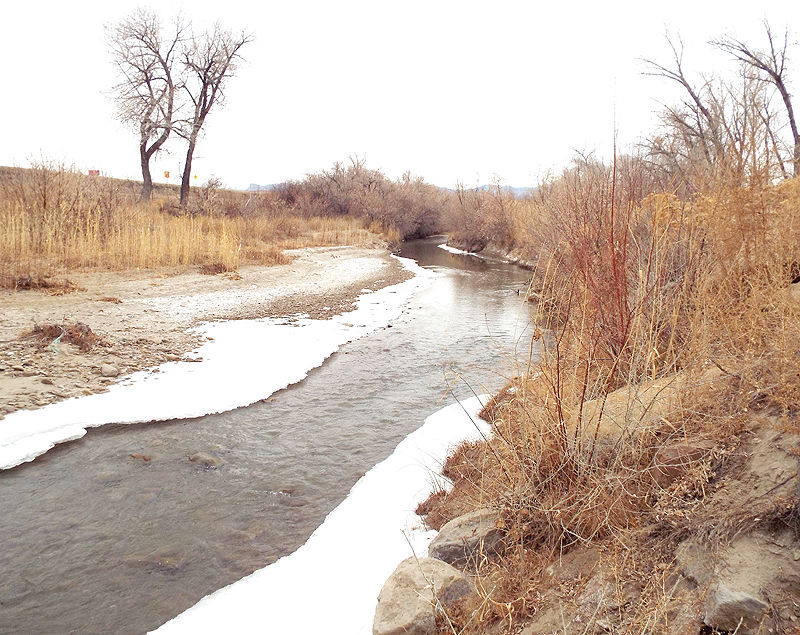
The snow pack was four to five feet deep in the high country and with the spring melt, runoff filled area reservoirs up to and over the spillways. It looked like it might be the end of a long drought.
Fast forward to 2018 and the water outlook is back to the other end of the spectrum. Fortunately reservoirs basin-wide are still well above average, based on a 1981-2010 reference period. As of January 1, Scofield Reservoir contained 74 percent of capacity, which is 170 percent of the average level for the date; Huntington North Reservoir was 53 percent of capacity, which is 169 percent of average; Joes Valley Reservoir held 74 percent of capacity, which is 115 percent of average.
Snow pack still light
But the outlook for filling the reservoirs to last year’s levels is not optimistic, based on current mountain snow pack. NRCS statistics show snow water equivalent in the mountains above the basin is only 19 percent of the median, compared to 141 percent at this time last year. The snow water equivalent percent of normal is based on data transmitted from automated snow measuring stations in or near the basin, compared to the average value for those sites. The data from the snow telemetry, or “SNOTEL” sites is used to predict the amount of runoff from the snow pack during the melt beginning in the spring.
There are 11 SNOTEL sites in the mountains above the Price-San Rafael River Basin from 8,207 ft. to 9,904 ft. in elevation. The current snow level depths range from zero at the Seeley Creek and Upper Joes Valley sites, to 10 and 11 inches respectively at the Clear Creek#1 and White River#1 sites.
According to NRCS reports, precipitation in the basin for the current water year is 44 percent of average.
Looks like a desert again (so far)
Price River